
 Slo
Slo Eng
EngData source: Planinska zveza Slovenije
Difficulty: Easy trail
Safety equipment: The trail is not equipped with guards
Trail type: Single-day trail
The trail has no closed sections.
More info
11766m
~ 4h
317m
317m
0m
0m
Map
Trail display
Points on route
542m
Altitude
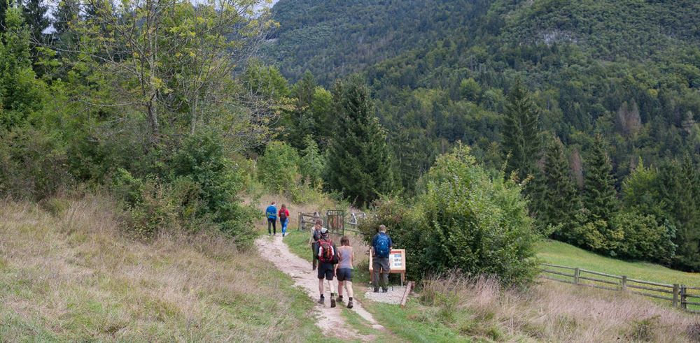
Parkirišče Turizem Bohinj
572m
Altitude
Ukčev most
690m
Altitude
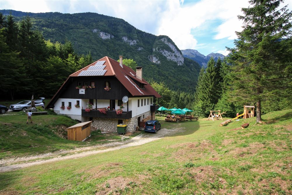
Koča na Vojah
690m
Altitude
Planinska koča na Vojah
675m
Altitude
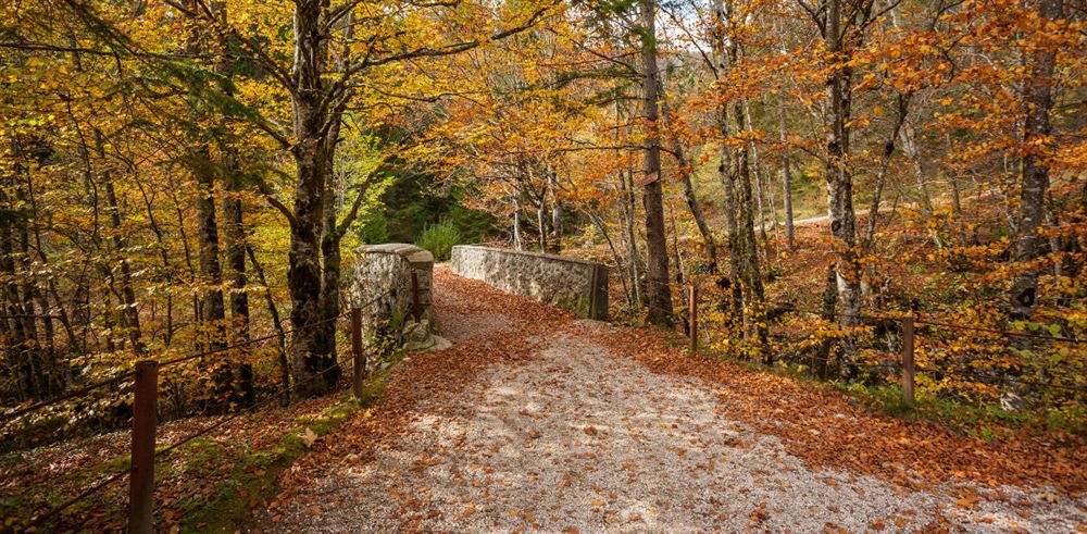
Beraški most
765m
Altitude
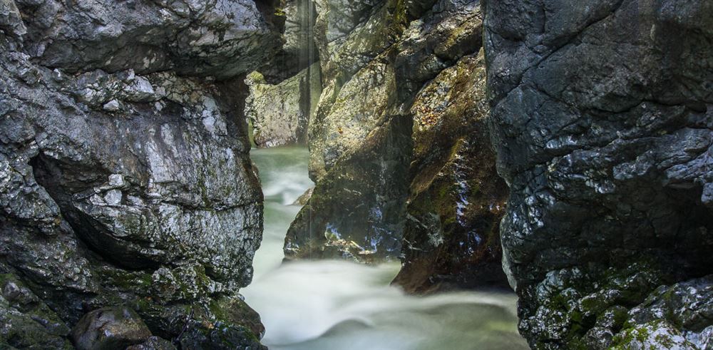
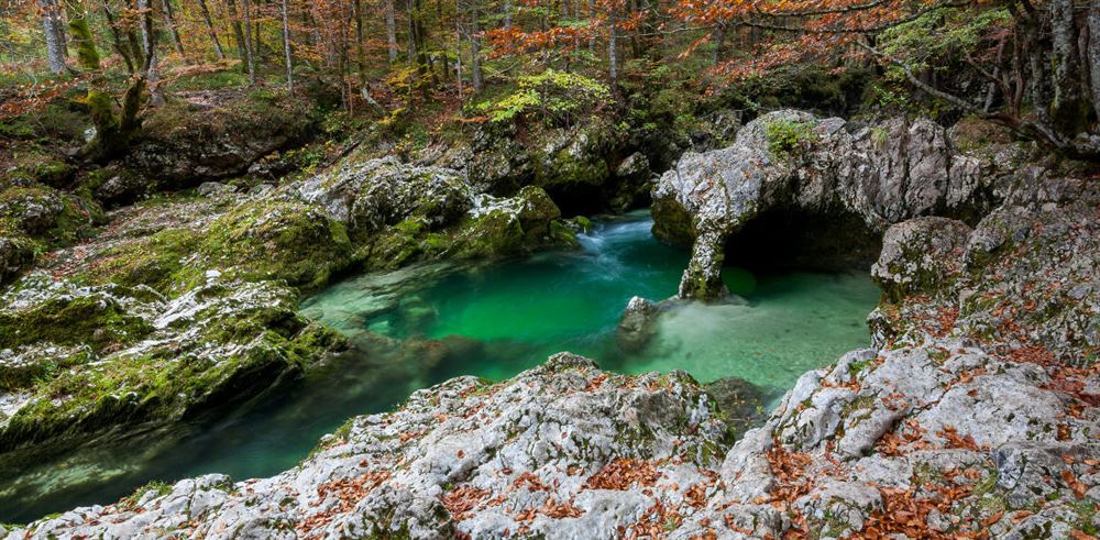
Slap Mostnice
625m
Altitude
Češenjski most
573m
Altitude